
3 min read
Sols 4182-4183: We Reached the South Side of Pinnacle Ridge… What’s Next?
Earth planning date: Friday, May 10, 2024
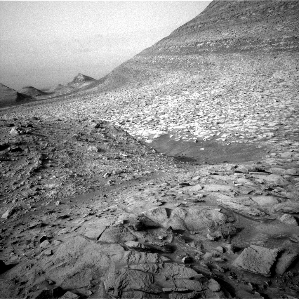
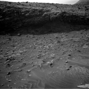
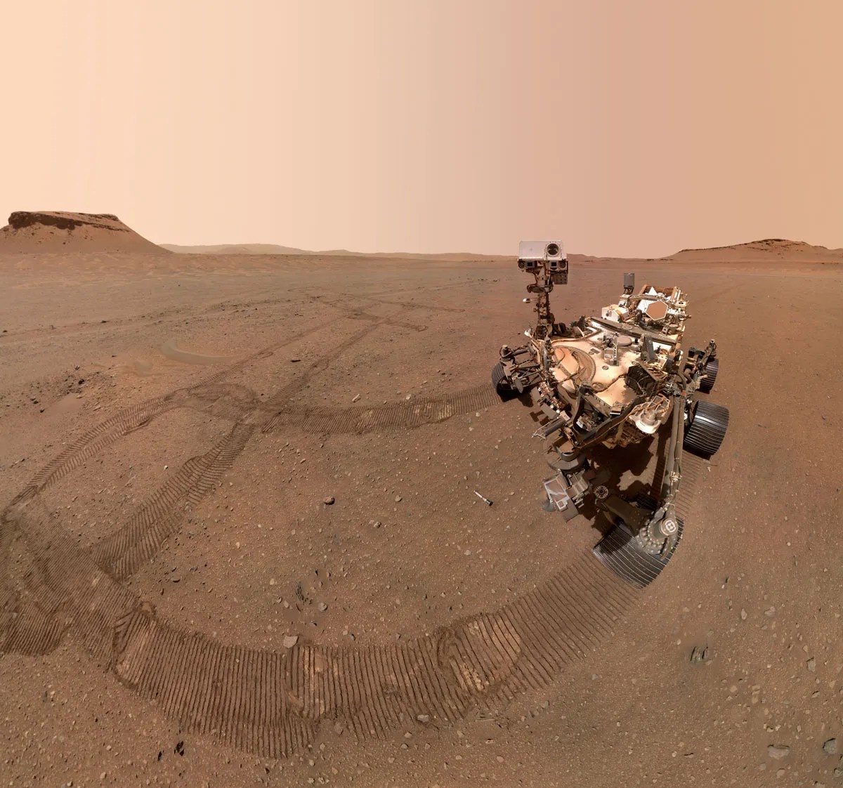
We planned quite a drive on Wednesday, with lots of twists and turns over very bumpy terrain, so the team was delighted to learn everything completed as planned when we received our downlink at ~4 am Pacific Time this morning! The successful drive means Curiosity is now parked on the south side of Pinnacle Ridge, the final area of upper Gediz Vallis ridge that we planned to investigate before we cross Gediz Vallis channel. We visited the north side of Pinnacle Ridge last week and collected all sorts of data that tell us a lot about the composition and textures of the rocks that form the ridge.
We had a big decision to make this morning: Now that we can see the south side of Pinnacle Ridge is traversable, should we drive onto it to get additional contact science data on the Gediz Vallis ridge rocks, or should we continue to drive along Gediz Vallis channel towards our planned channel crossing spot? Driving onto Pinnacle Ridge at this location could give us an opportunity to learn more about the materials that make up the ridge and the role of water in this area, but it could also take several sols and not tell us much more than what we already learned from our investigation on the north face of Pinnacle Ridge.
My role today was Long Term Planner, which meant I had to lead the team’s discussion to talk through the pros and cons of this decision, and (ideally) help the group come to a consensus. We talked a lot about how the rocks we could see from our current location compared with the rocks we already investigated on the north side, and ultimately the ~25 scientists who were on the tactical operations planning group today came to a consensus decision that we’d rather move on then spend more time here.
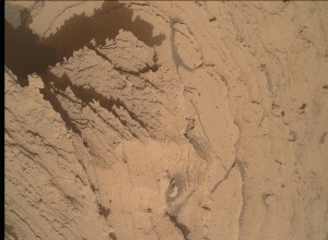
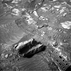
So today we’re going to collect lots of Mastcam observations and then continue to make our way up and along the channel, heading ~23 meters to the southwest. Before driving away we’ll also take the opportunity to do some contact science on the rocks at our feet, doing a DRT followed by APXS and MAHLI observations on the target named “Boyden Cave,” APXS and MAHLI observations on a nearby (dusty) target named “Royal Arches,” and finally a MAHLI only target of a cool nearby rock named “Quarry Peak.” We’ll also collect two ChemCam LIBS observations of “Otter Lake,” a target very close to Royal Arches, and another nearby rock named “Nevada Falls.” A suite of environmental monitoring observations will round out the plan.
I really love operations days like today. We came in this morning with a completely new Martian vista to admire, and then we had to work together as a team to make a quick decision about what to do next. I think the pace of this decision making, the ability to talk through tough choices with a group of really smart, passionate people, and the realization that these decisions are guiding the course of a one-ton vehicle on an entirely different planet is one of the coolest ways to spend a morning.
Written by Abigail Fraeman, Planetary Geologist at NASA’s Jet Propulsion Laboratory


